New South Wales Wind Speed Maps
Work with your preferred spatial analysis platform to conduct in-depth analysis and create wind maps. Access comprehensive wind data provided in standard GIS-compatible formats for New South Wales.

Dataset Information
Land Area
802965 km²
Hub Heights Available
10m - 140m
Resolution
200m
Explore this data online: Navigate wind patterns, elevation, and surface roughness across New South Wales using our Windnavigator Platform.
Register your free account
Additional data products: The Windnavigator platform also enables you to generate
historical time series and virtual met mast data
for New South Wales, as well as order high-resolution
wind resource grids (WRG)
to support detailed micrositing, energy assessments, and seamless integration with wind farm design tools like Windographer and Openwind.
What is included
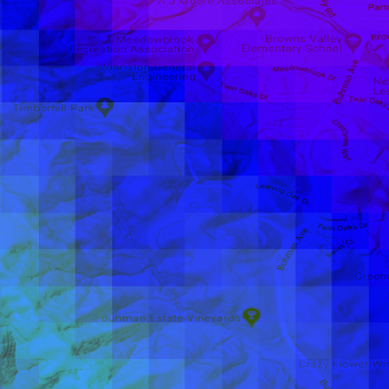
Raster Data
- Format: GeoTIFF
- Resolution: 200m
- Annual Average Wind Speed at user-defined hub heights
- Digital Elevation Model (DEM)
- Roughness
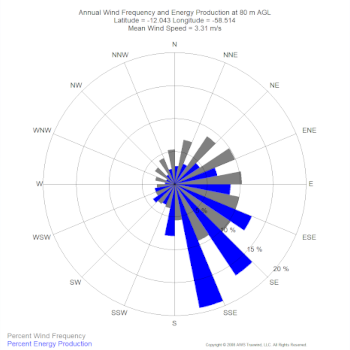
Vector Data
- Format: Geopackage or ESRI Point Shapefiles
- Resolution: 2km
- Wind Distribution Data (wind speed, power, Weibull A and k, and frequency percentages in 1 m/s bins)
- Annual Average Wind Speed at four user-defined hub heights
- Wind Rose - frequency and speed in 16 direction sectors
- Roughness
- Monthly Data - average annual wind speeds by month
- Diurnal Data - average annual wind speeds by hour
- Air density, Power density & Weibull parameters new
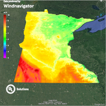
KML Files
- Format: .KMZ
- Resolution: 200m
- View and modify map in Google Earth
- Annual Average Wind Speed at user-defined hub heights
Download the New South Wales wind map (PDF)
Enter your details and we'll email you a download link for the New South Wales wind speed map.
Tip
Integrate this data with OpenWind to determine your offsets and developable areas for comprehensive wind farm planning. Learn more about OpenWind.