Renewable Energy Software & Data Solutions
UL Solutions provides renewable energy software to help your team manage wind, solar, hybrid, and battery storage (BESS) projects more effectively. Work independently or alongside our 500+ experts with 35 years of experience across 300,000+ MW of projects in 140+ countries.
Accelerate Your Renewable Energy Projects!
No credit card required • Instant access to essential data
Windnavigator - Wind Resource Data and Maps
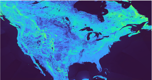
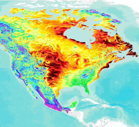
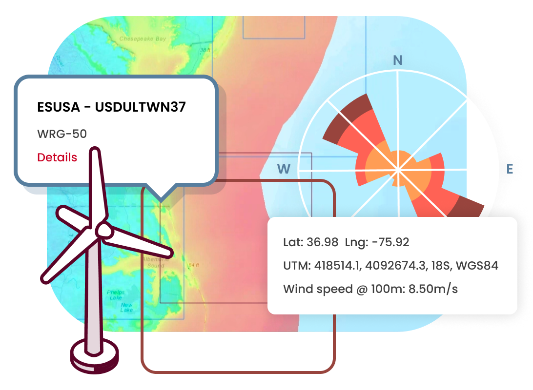
Everyday wind developers use data to inform their decision making, and the quality of that data can have a significant impact on project outcomes. UL Solutions' online platform Windnavigator Resource Data and Maps, part of ULTRUS™ software, is designed to help wind prospectors and developers identify potential sites and perform early-stage project development activities by delivering high-quality wind maps, wind resource grids, and time-series data through a web-based interface.
The Windnavigator API enables seamless integration with your existing workflows and software tools, allowing developers to programmatically access wind resource data and incorporate it directly into their applications and analysis pipelines.
Renewable Resource Assessment Platform (RRAP)
The Renewable Resource Assessment Platform (RRAP) combines the methods, software tools and data resources required to conduct preliminary wind energy analysis into a web-based platform. RRAP is designed to follow the iterative process a wind developer takes to assess energy in the early stages of project development from greenfield prospecting to preliminary project design. The result is a more streamlined approach to help you make informed decisions on which wind projects to develop and/or invest in.


Windographer - Wind Data Analytics and Visualization Solution
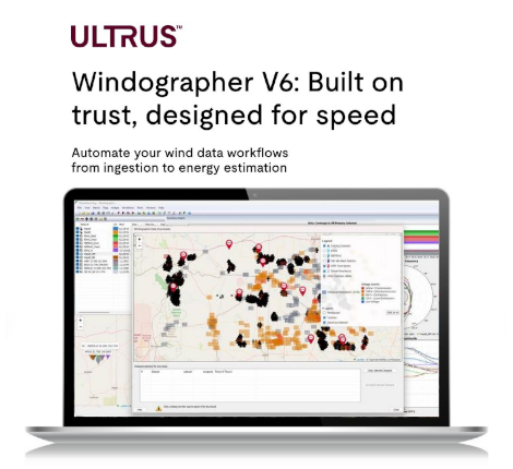
Designed for importing, analyzing and visualizing wind resource data measured by met tower, sodar or lidar, Windographer quickly imports virtually every data format, allows rapid quality control and statistical analyses including MCP, and exports to all common wind flow models.
Openwind - Wind Farm Modeling and Layout Design Software
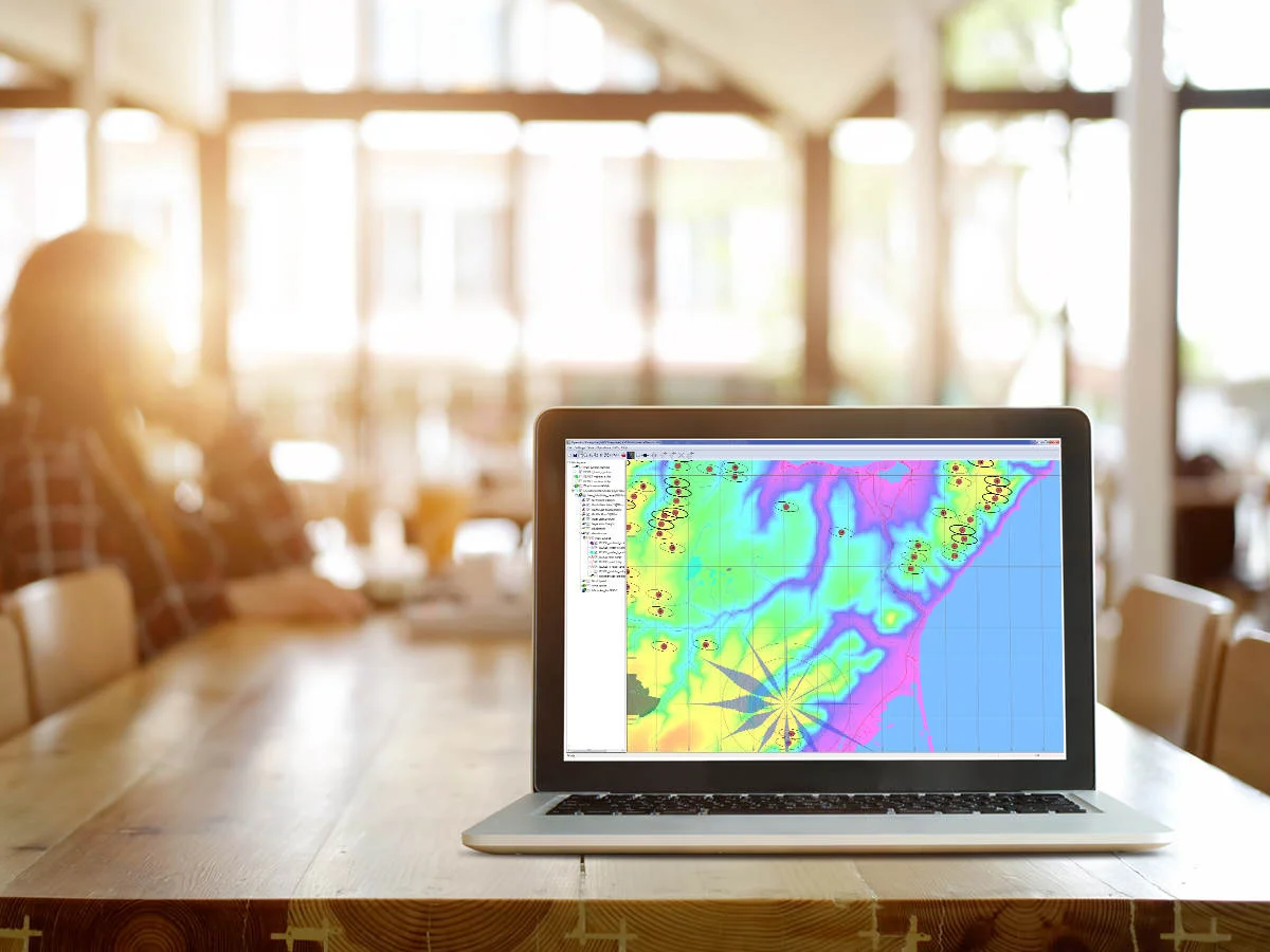
Openwind is a wind farm design and optimization software used throughout a wind project’s development to create optimal turbine layouts that maximize energy production, minimize energy losses, account for plant development costs and generate overall project efficiencies.

Homer - Microgrid and Hybrid Power Modeling Software
UL Solutions helps customers model and optimize microgrid and hybrid power systems to maximize efficiency, cost-savings and revenue. Whether your system is behind-the-meter or in front, on-grid or off-grid, kilowatts or gigawatts, we have a solution for you. Learn more about HOMER® Pro, HOMER Grid or HOMER Front modeling software.
Renewable Asset Monitoring Platform
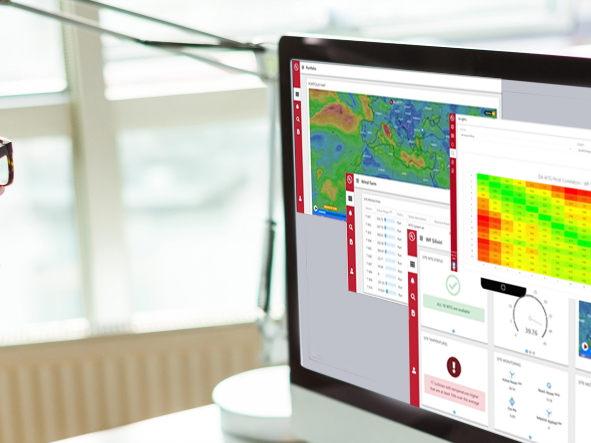
RAMP's SaaS platform brings the power of real-time monitoring, production KPIs, analytics, power forecasting and reporting to help wind plant owners, O&M directors, asset managers and technicians manage their renewable assets.
Interested in learning more about our software solutions?
and how we can help you with your renewable energy project needs.
News & Highlights
